-
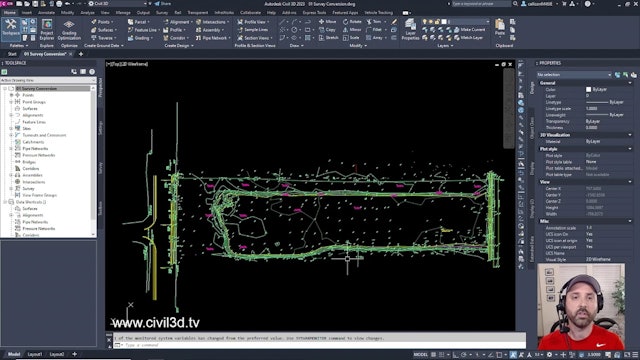
01 Survey Coordinate System Check within the Drawing Settings
Find out how to check if your survey is accurately in the proper coordinate system.
-
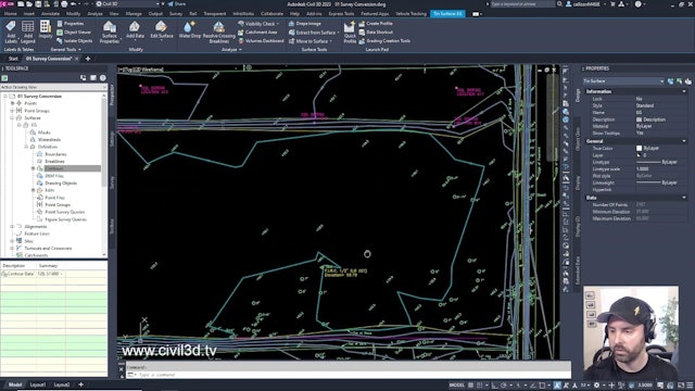
02 Converting Survey Contour Polylines to a Contour Definition for an Existing Surface
-
03 Move Text to an Elevation for a Surface
-
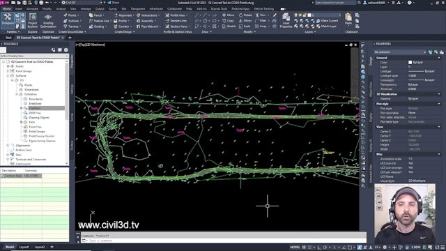
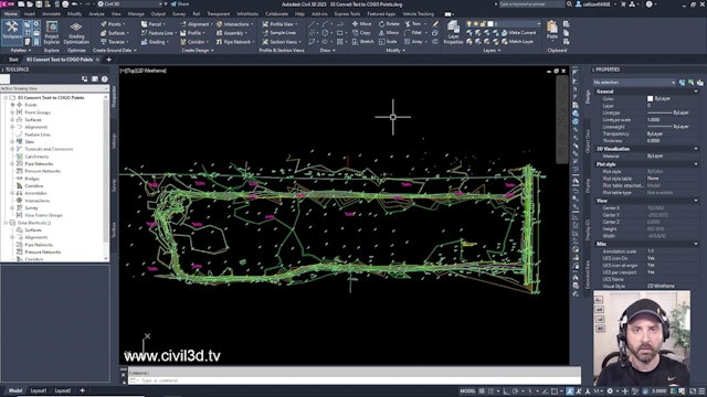
04 Convert Text to COGO Points


