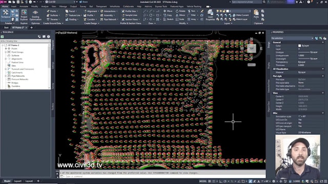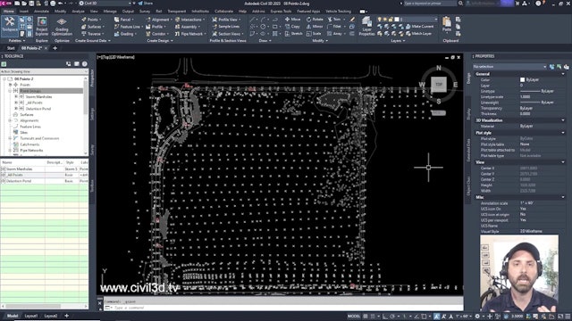

Point Essentials
These courses will introduce you to the coordinate geometry (COGO) points that serve as the foundation for modeling land surfaces. These lessons show you how to classify a big collection of survey points into more manageable groupings and how to import survey information from a database into a drawing.
It is a good idea to build up your drawing environment such that as new points are formed, they are organized into meaningful groups and given the proper styles and other qualities before importing a big set of points.

-
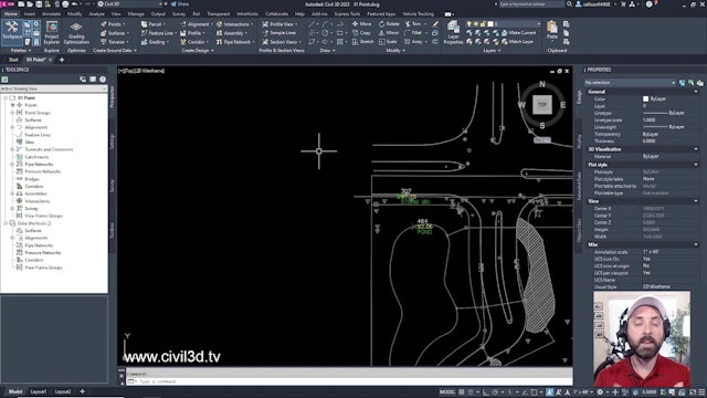
01 What Is a Point
-
02 COGO Points vs AutoCAD Point Nodes
-
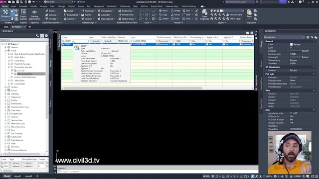
03 Creating Description Keys
-
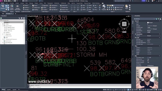
04 Creating Point Groups
-
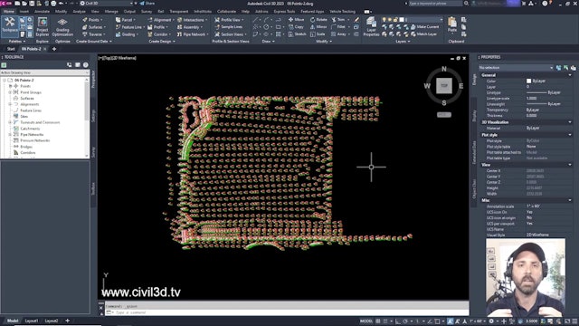
05 Importing Points From a Database
-
06 Reordering Point Groups
-
07 Displaying an Externally Referenced Drawing
-
08 Changing the Style of a Point Group
-
09 Removing an Externally Referenced Drawing
-
10 Editing Points
-
0013-Civil-3D-2023-Point-Essentials.zip
10.7 MB